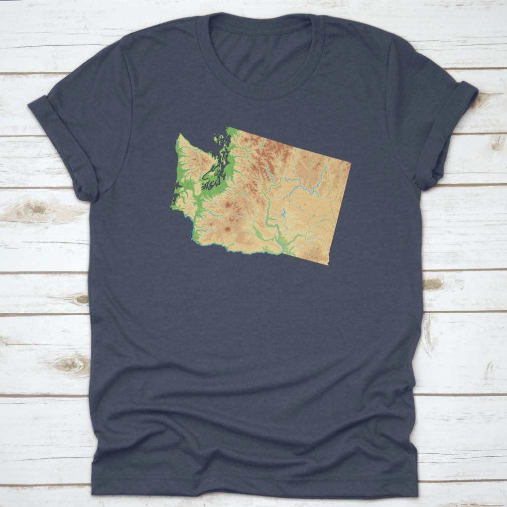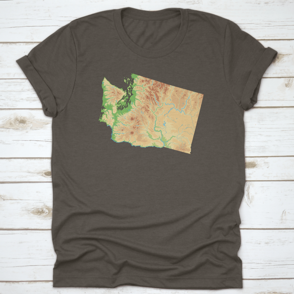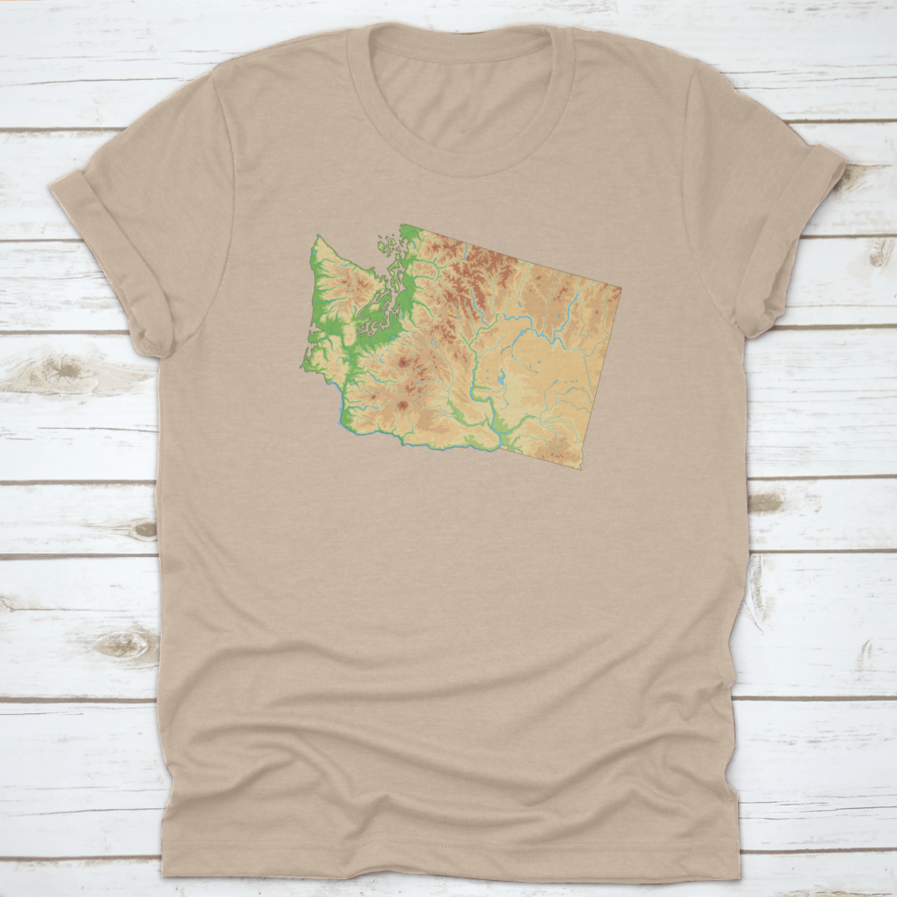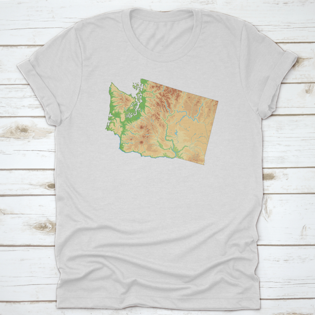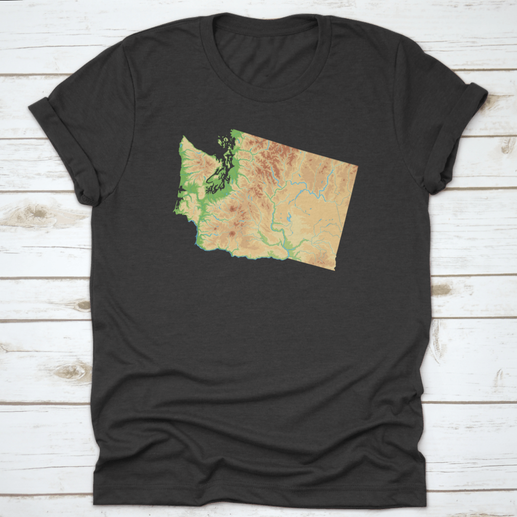
Dropship Highly Detailed Washington Physical Map Vector Illustration Design
100.0% of buyers have recommended this.
Highly detailed vector illustration
Perfect for educational use
Ideal for home or office decor
Available in various sizes
High-quality print options
Product description
The Highly Detailed Washington Physical Map Vector Illustration is an exceptional resource for anyone interested in the geography of Washington State. This meticulously crafted vector illustration showcases the state's diverse topography, including mountains, rivers, and valleys, making it an ideal tool for educators, students, and geography enthusiasts alike.
Features of the Washington Physical Map
This vector illustration is designed with precision, ensuring that every detail is captured accurately. The map highlights significant geographical features, including the Cascade Range, Olympic Mountains, and the Columbia River, providing a comprehensive overview of Washington's physical landscape. The use of vibrant colors and clear labeling enhances the visual appeal and usability of the map.
Educational Benefits
Utilizing the Highly Detailed Washington Physical Map in educational settings can greatly enhance learning experiences. Teachers can use this map to explain geographical concepts, while students can engage in hands-on activities that promote spatial awareness and understanding of the state's geography. This map serves as an excellent reference for projects, presentations, and classroom displays.
Decorative Uses
Beyond its educational value, this vector illustration also makes for stunning wall art. Whether you are looking to decorate a classroom, office, or home, the Highly Detailed Washington Physical Map adds a touch of sophistication and knowledge to any space. Its classic design complements various interior styles, making it a versatile choice for decor enthusiasts.
Print Quality and Options
The map is available in various sizes, allowing you to choose the perfect fit for your space. It can be printed on high-quality materials, ensuring durability and longevity. Whether you prefer a large statement piece or a smaller version for a desk or shelf, this illustration can be tailored to meet your needs.
Conclusion
In summary, the Highly Detailed Washington Physical Map Vector Illustration is not only a valuable educational tool but also a beautiful decorative piece. Its detailed representation of Washington's geography makes it a must-have for anyone interested in the state's natural features. With its high-quality print options and versatility, this map is sure to impress and inform.
Get started

